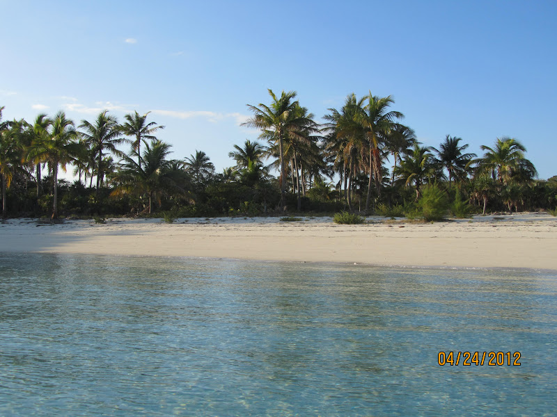
24 April 2012 1116-1323 Little Farmers Cay to Rudder Cut Cay, Exumas 11nm (xx sm)
We took advantage of the lull in the wind to continue cruising south on the Bank. We passed David Copperfield's private island, Musha Cay and the surrounding 5 cays that he also owns. The island is available to rent - BIG BUCKS! The area south of Musha Cay requires Visual Piloting...i.e. you eyeball the water/bottom to decide if there is enough water for you to pass. We proceeded down toward Rudder Cut Cay and anchored near a cave off the Cay.
View Larger Map
25 April 2012 0734-1130 Rudder Cay to Emerald Bay Marina, Exumas 23nm (xx sm)
Dan & Lucie Morley (S/V Trinity 1) had recommended that we check out the cave nearby. We dinghied into the cave...take a look.
 |
| Ted on the beach in the cave |
 |
| The cave from a distance |
 |
| Beach on Rudder Cut Cay |
 |
| The beach where the sign was posted |
4 May 2012 1050-1701 Rudder Cut Cay to Emerald Bay Marina, Exumas 24 nm (27.5 sm)
With weather coming in again toward the weekend we opted for a safe dock in lieu of any more excitement. Emerald Bay marina comes highly recommended by all cruisers. The washers/dryers are free, as is the WIFI and cable TV; the showers come with shampoo, creme rinse, shaving cream and body soap - just bring your towel! The boaters lounge is amazing...pool table, big screen TV, kitchen, etc. - you get the picture. What is not to like? They even have a NO SERVICE dock for those with solar power (no cable TV there). Water is $0.40/gallon. We did some exploring during our 9 day stay that included renting a car and exploring Great Exuma and Little Exuma Islands.
 |
| Entrance to Emerald Bay marina |
The entrance can be a bit dicey in a strong NE wind; breaking waves make the entrance intimidating.
We rode our bikes out up to the local Bahamas Telecommunication Office about 4 miles away only to learn that the office had closed several weeks ago. The nearest BTC office is in George Town about 12 miles away. We met a local independent politician and a British ex-pat along the way. Stopped in the local grocery store and bought a couple items. The best buy was Kerrygold butter for $1.98. American imports are quite high; British food items are much more reasonable.
Nearby the marina property (which is part of the Sandals Resort) is Grand Isle Resort & Spa - an upscale neighborhood with private condos, homes and a golf course.
 |
| Golf course |
|
|
|
|
Painted conch shells mark the area where one tees off at the golf course.
 |
| Sandals Resort |
Entrance to Sandals Resort requires a day pass @ about $130.00. Use of the pool at Grand Isle resort is now $30/day. We passed but we did try out Grand Isle's Palappa restaurant. Very good!
We played Mexican Train in the lounge several nights with this crowd of sailors. It was a lot of fun.
 |
| Judy, Ted, Julia, Greg, Cindy, Lyle and John |
We rented a van with most of this crowd and explored Great Exhuma north and south of Emerald Bay.
 |
| Beautiful beach - Barraterre (N of NW tip of Great Exuma Island) |
 |
| Barraterre - Conch shells in the front yard |
 |
| Barraterre - Beach combing (Cindy, Nancy) |
 |
| Pompey (foreground) - Jail (background) in Rolle Town |
Pompey was a slave who led a rebellion when 77 slaves were told they would be resettled on Cat Island. He may well be considered a national hero for his role in the mini-rebellion against slavery.
How about this view? We had lunch at Peace & Plenty. This is the view of Elizabeth Harbor, George Town, from the pool deck.
 |
| Monument Beach anchorage - George Town, Great Exuma Island |
Monument Beach is one of several popular anchorages in George Town. Upwards of 400 cruisers can be found in George Town January through April.
 |
| Salt Marker - Williams Town |
This marker guided ships in to pick up salt harvested from Little Exuma’s three salt
ponds. The walls dividing the Great Salina into pans can still be seen.
Designed as a Tuscan Column, the marker was most likely constructed in
the Loyalist Era of the late 18th or early 19th century.
 |
| Santanas - Williams Town watering hole |
 |
| Kailik - a local beer (even though its not brewed in the Bahamas anymore) |
 |
| Ted, Greg & Judy (S/V My Destiny), John & Cindy (S/V Hawk) |
 |
| Bread Store |
Next to Santanas was Mom's. We all bought bread; I bought coconut and raisin.
 |
| Mom's Bread |
We spent an afternoon beach combing and came up empty. The most interesting things we saw were this bird near the golf course and Dexter, an english staffordshire bull terrier on S/V Cypraea.
 |
| Bird on golf course |
Anyone know what kind of bird this is?
 |
| Dexter |
 |
| Similar bird in the pool at Grand Isle Resort |
View Larger Map
4 May 2012 0737-1159 Emerald Bay Marina to Black Pt Settlement, Exumas 42 nm (48 sm)
Not sure why, but I took no pictures on the way up to Black Pt. This was just an overnight anchorage for us as we'd stopped here when we were southbound. We definitely have a stabilizer problem. The port stabilizer makes the boat "shudder".
5 May 2012 0737-1159 Black Pt Settlement to Emerald Rock, Warderick Wells, Exumas 26 nm (29.8 sm)
We really enjoyed the Exumas Land & Sea Park, so back we went! We could also get email here for $10.00 for 24 hours. Important since we are trying to raise the stabilizer folks in Ft Lauderdale to see if there is any trouble shooting Ted can do.
As this is a Saturday night, the Park hosts a Happy Hour (they provide ice). We reconnected with John & Cindy on
S/V Hawk. Cindy had invited us to join them for homemade conch chowder after Happy Hour (which was yummy!).
6 May 2012 1013-1500 Emerald Rock to Highbourne Cay, Exumas 30 nm (34.4 sm)
Another overnight anchorage. At this point what was a minor stabilizer problem had become more aggravated. We dinghied into the
marina and bought more minutes for the BTC cellphone to call Ft Lauderdale. It is about $0.75/minute. The bar was closed because the staff had already gone to Nassau to vote in the elections on 7 May. Beautiful day on the water.
 |
| Along the way to Highbourne Cay...can you believe this water? |
 |
| Sunset at Highbourne Cay |
|
|
 |
| Megayacht anchored behind us at Highbourne Cay |
View Larger Map
7 May 2012 0746-2041 Highbourne Cay to Northwest Shoal, Grand Bahamas Bank 90nm (103.4 sm)
The weather was so nice we pressed on to save a day and to be sure we had good weather!
 |
| Sunset from the Tongue of the Ocean |
 |
| Exiting the Tongue of the Ocean - Chart plotter view |
In places, the Tongue of the Ocean is 6000' deep. It narrows, like the tip of a tongue, as one enters the Grand Bahama Bank at Northwest Channel. You can see the boat icon on the chart plotter with the dotted line in front of the boat showing our heading.
View Larger Map
We exited the Tongue of the Ocean via the Northwest Channel and anchored on the Grand Bahama Bank. Had a little trouble setting the anchor on the first try. On the second try, I backed the engines up to 1600 rpm; it appeared we were set. We set an anchor alarm with the chartplotter and watched it for about an hour. Things looked good so we turned off the chartplotter and set an anchor alarm on the handheld GPS.
After a very long day we hit the sack thinking we'd stop at Bimini the next day.
8 May 2012 0240-1816 Northwest Shoal to Ft Lauderdale, FL 117nm (134.4 sm)
0130 - I wake up to the sound of the anchor alarm. I look around, turn on the chart plotter and sure enough, we had dragged 42' outside of the 200' zone we'd set. Ted had slept through the alarm. We assumed that it happened when the tide changed directions. Nonetheless as Ted went back to bed and I continued to watch the chart plotter, we continued to slowwwwly drag. After 30 minutes I notified Ted. I suggested we just get underway. We had a full moon and nice weather. It was about 57 miles to the Bank where we cross the Gulf Stream (another 50-ish miles) to Ft Lauderdale.
 |
| Sunrise on the Bank |
The weather forecast was for SSW winds, 15-20 knots, 3-5' seas with an 8 second interval. We have one working stabilizer which was certainly better than none! I was most concerned about the sea state but it turned out to be a nice ride across the Gulf Stream. 10 miles outside Ft Lauderdale we could see 3 distinct thunderstorms converging on the area. As we entered the inlet at Port Everglades, the rain eased.
 |
| Rainy Ft Lauderdale - Approaching the 17th St Bridge |
Naturally, by the time we were up the New River ready to tie up, it started pouring! In spite of my rain gear, my shorts were soaked from mid thigh down. Once we were tied up I hit the shower and ordered pizza (to be delivered) from Doughboys.
P.S. The potentiometer for the stabilizer was replaced (ka-ching!). As we got ready to get underway, the starter for the port engine bit the dust (ka-ching!!).
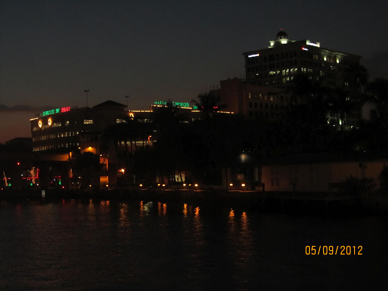
Here are a couple evening shots from Ft Lauderdale.
 |
| Highrise condo across from us |
 |
| The Sheriff's Jail right next to us |
 |
| Riverwalk across from us |
 |
| Riverwalk behind the boat |


Hey guys,
ReplyDeleteBeautiful post.... Great pictures...Your bird looks like a Yellow Crowned Night Heron according to Kaufman's bird book. The yellow crown is not always noticeable.
Sorry to hear about the expensive repairs, but that is what boating means. Bring Out Another Thousand BOAT.